 Catalogue PIGMA
0.5 deg
Type of resources
Available actions
Topics
Keywords
Contact for the resource
Provided by
Years
Formats
Representation types
Update frequencies
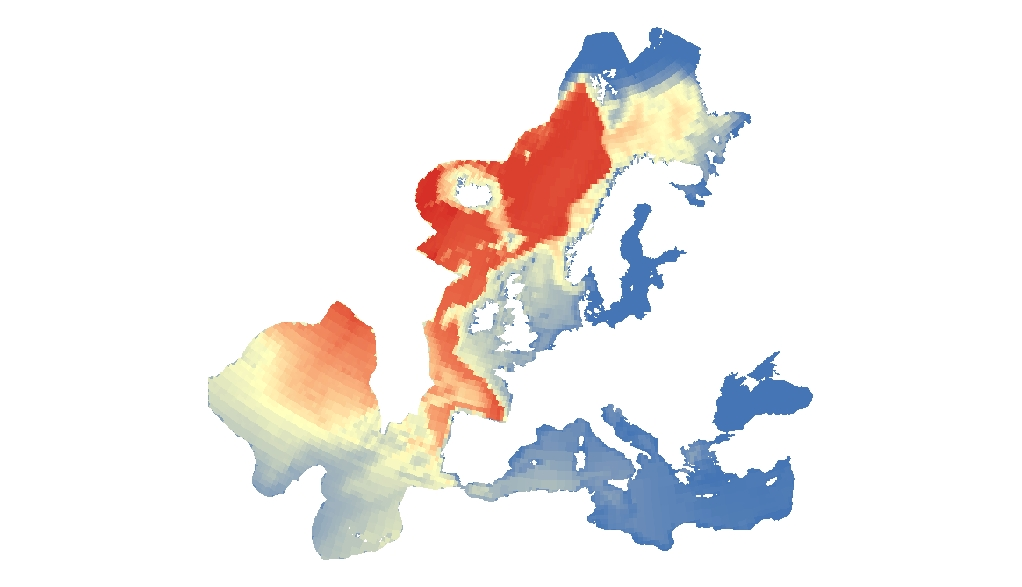
Resolution
-

The raster dataset represents the risk of collision of whales with vessels in Europe Seas. The most vulnerable species from ship strikes are cetaceans and turtles, since they go to the surface to breathe. On the other hand, their migration routes can overlap with shipping lanes. The collisions can produce the death or injury of the animals, and are an important threat for the conservation of these species. The dataset has been prepared in the context of the development of the first European Maritime Transport Environmental Report (EMSA-EEA report, 2021: https://www.eea.europa.eu/publications/maritime-transport).
-
This raster dataset represents the probability of occurrence of whales in the Europe Seas, where the species included are: Blue whale, Sei whale, Humpback whale, Sperm whale, Fin whale and Northern right whale. The northern right whale model only describes the range of the western population of this species, since the eastern population is probably almost extinct. Thus, the northern right whale model only partly overlaps with the EEA area on interest. This dataset is based on AquaMaps distribution maps (version 10/2019). The dataset has been prepared in the context of the development of the first European Maritime Transport Environmental Report (EMSA-EEA report, 2021: https://www.eea.europa.eu/publications/maritime-transport).